Ocean views and forest trails
Stanley Park Seawall Loop: Vancouver's Most Beautiful Walk
Quick Trail Notes:
- Length: 6 mile loop
- Time: 2.5 to 3.5 hours depending on stops
- Difficulty: Easy
- Elevation Gain: Minimal, mostly flat with gentle inclines on inland forest trails
- Trailhead: East side of Stanley Park Drive in Coal Harbour, near the Vancouver Rowing Club.
- Parking: Paid parking is available near the Vancouver Rowing Club and the Coal Harbour entrance to Stanley Park, providing convenient access to the eastern end of the seawall. Additional parking is available around Coal Harbour and near Canada Place.
- Facilities: Public washrooms, benches, picnic areas, playgrounds, restaurants, and seasonal concession stands are available around the park. Washrooms generally operate from dawn to dusk and are located at Coal Harbour, Brockton Point, Third Beach, Second Beach, the Rose Garden, and near the Vancouver Aquarium area.
- Water Availability: Drinking fountains and bottle-filling points are available at several developed areas, but some may operate seasonally.
- Cell Service: Cellular service is generally reliable along the seawall and near developed attractions. Reception may weaken on interior forest trails, so download the trail map before starting.
- Accessibility: The seawall is paved, wide, and stroller/wheelchair friendly for most of the loop. Some inland forest trails near Beaver Lake are unpaved and less accessible. Accessible parking and washrooms are available at several developed sites, including Second Beach and Prospect Point.
- Dogs: Allowed on leash in most areas; some beach and wildlife zones may have restrictions
- Maps: https://vancouver.ca/files/cov/stanley-park-trails-map.pdf
- Amenities & Activities: Totem Poles, lighthouse, beaches, viewpoints, public art, Beaver Lake, Rose Garden, playgrounds, cafés nearby, bike rentals, beaches for relaxing, birdwatching, and scenic photography
- Cost: Free to walk; parking fees may apply nearby
- Seasonal Closures: Stanley Park is open year-round, generally from 6 a.m. to 10 p.m. Each winter, the seawall between Prospect Point and Third Beach typically closes for about three weeks for rock-slope maintenance, with shorter closures near Ferguson Point. Dates vary annually, and signed inland detours are provided. Storms, king tides, fallen trees, wildlife activity, and maintenance may cause additional temporary closures. Check the City of Vancouver seawall page before visiting.
- What to Bring: Comfortable walking shoes, layers for ocean breeze, rain jacket (this is Vancouver after all), water bottle, camera and sunscreen.
- Read Along the Route: Bring Stanley Park along when walking the Stanley Park Seawall Loop, where towering evergreens, ocean views, and hidden mysteries echo the atmosphere of the novel itself.
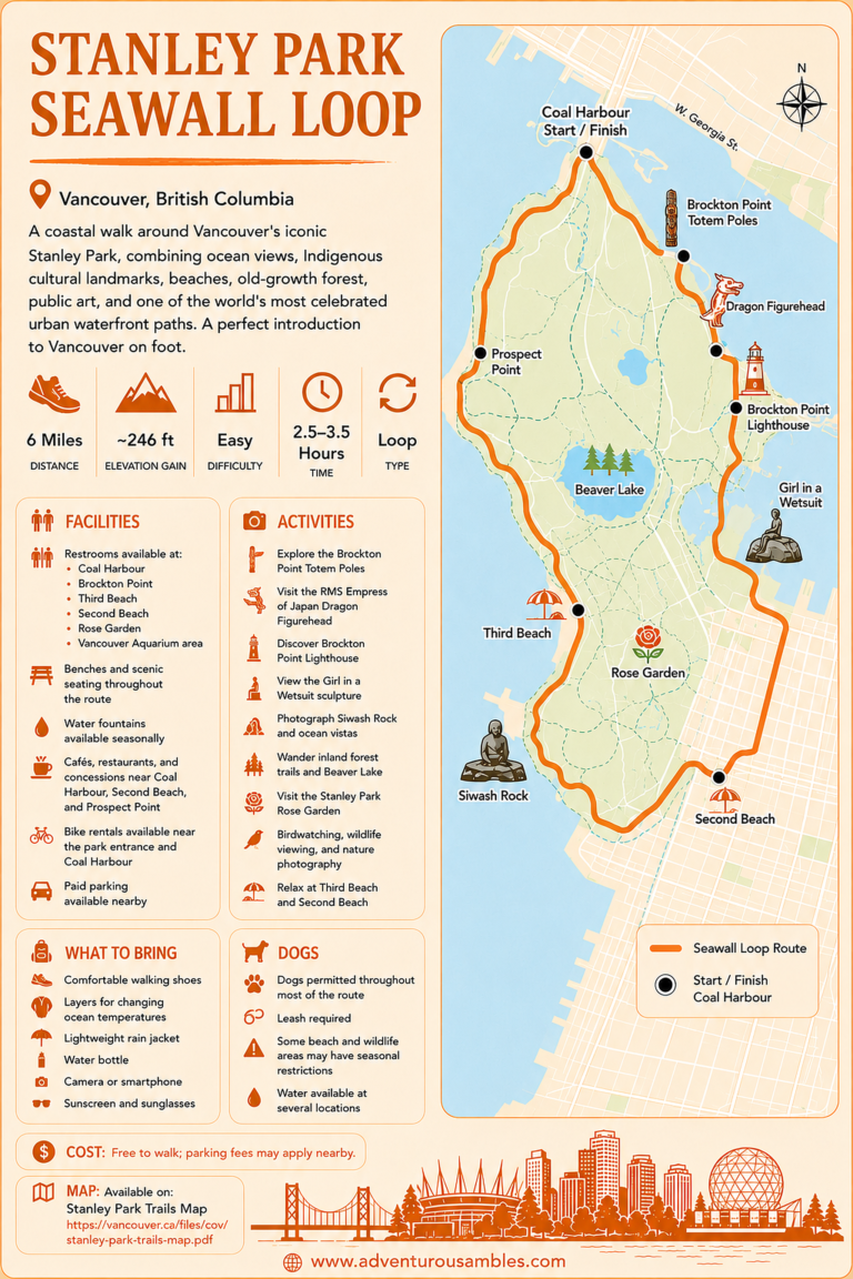
Save this Stanley Park Seawall Loop map before your walk. Follow Vancouver’s iconic 6-mile coastal route past beaches, Indigenous totem poles, Siwash Rock, Beaver Lake, and spectacular ocean views. Use this printable guide to plan your route, locate key landmarks, and experience one of Canada’s most famous urban walks.
Some walks feel less like exercise and more like adapting to the city’s pastoral cadence. That’s exactly how the Stanley Park Seawall Loop felt to me.
The roughly six-mile route begins near Coal Harbour, where sailboats bob in the marina and Vancouver’s skyline reflects across the water. On a clear morning, the North Shore mountains rise behind the city, seagulls circle overhead, and the path ahead feels like an invitation to take your time, which I definitely did.
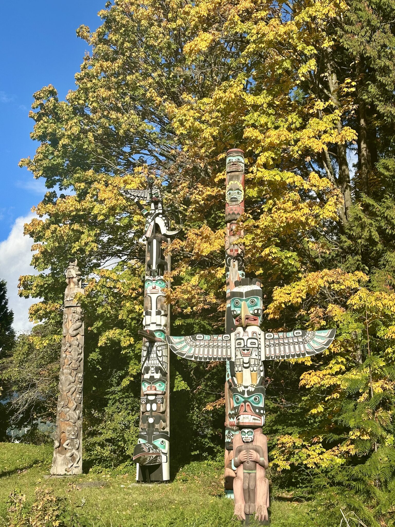
As I followed the harbor, the polished waterfront gradually gave way to something quieter and more deeply rooted. The Brockton Point Totem Poles soon appeared along the shoreline, standing tall among autumn leaves and salty sea air. I had seen them in photographs before, but being there in person felt entirely different. Each carved cedar pole holds stories, family histories, and symbols belonging to Indigenous nations of the Pacific Northwest Coast. Standing beneath them, I felt the significance of the place as much as its beauty.
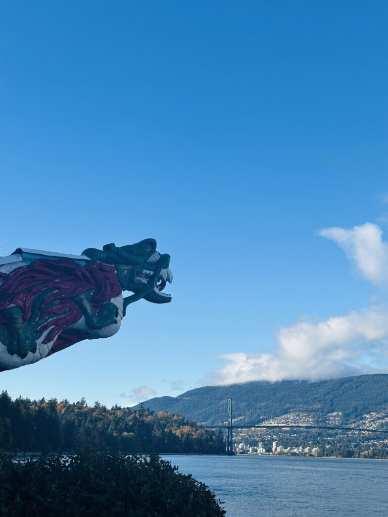
Just beyond the poles, I came across one of those details that would be easy to miss if you were rushing: the dramatic dragon figurehead from the RMS Empress of Japan. Its fierce, painted face still looks out across the harbor toward the Lions Gate Bridge and the North Shore mountains, as though it has been quietly guarding the water all these years.
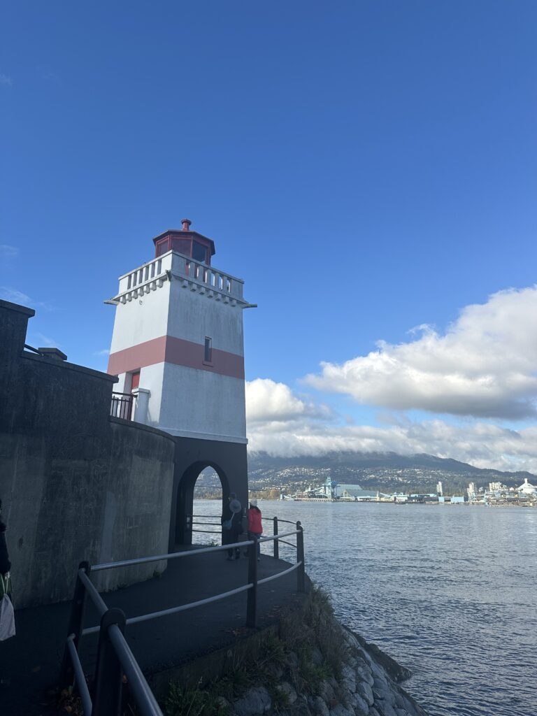
A little farther along is Brockton Point Lighthouse. Its small red-and-white tower looks almost delicate against the vast backdrop of Burrard Inlet. I stopped there for a while, watching freighters move slowly across the water and soaking in the calm, coastal stillness.
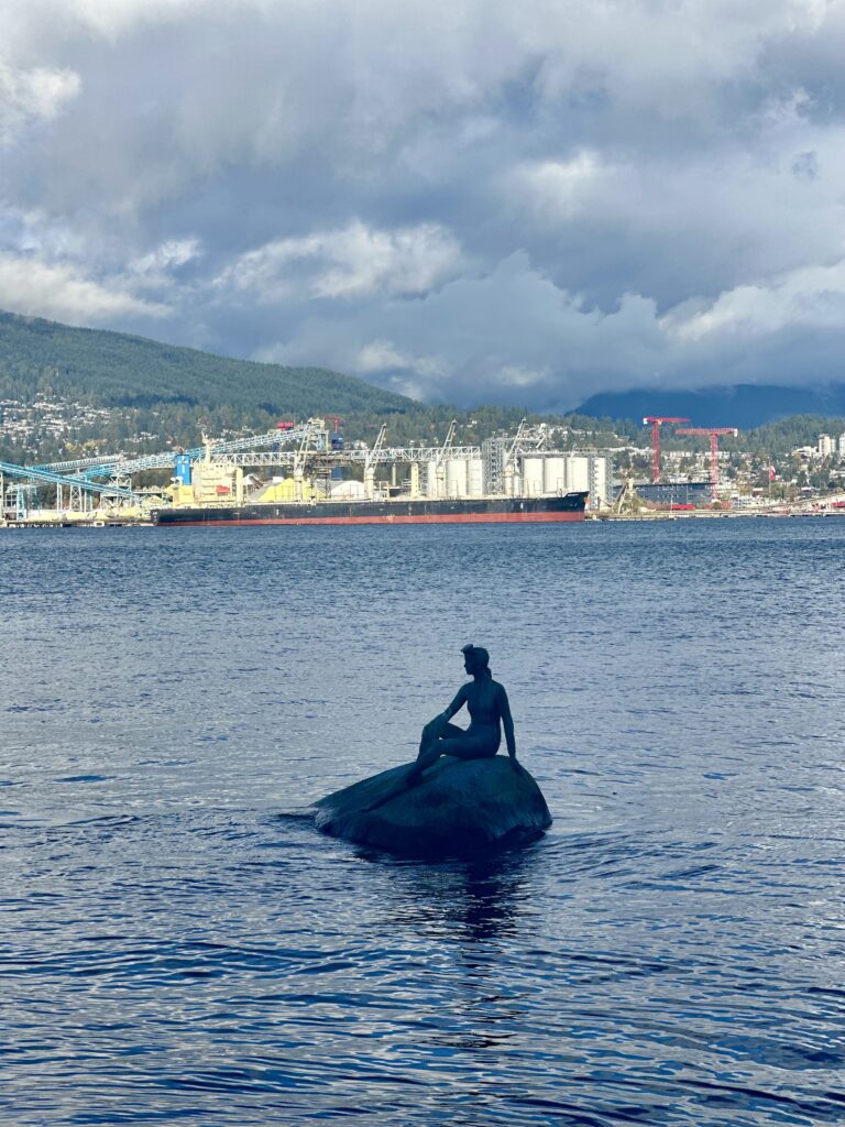
Then came the Girl in a Wetsuit, perched gracefully on a rock offshore. Inspired by Copenhagen’s Little Mermaid but unmistakably Vancouver, the bronze figure feels both playful and contemplative. Under a moody sky, with ships passing behind her, she seemed perfectly at home among the changing tides.
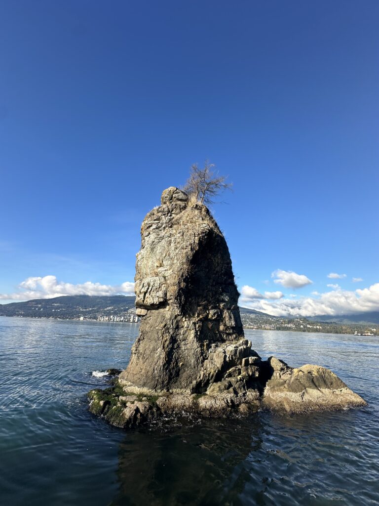
Farther west, Siwash Rock rises dramatically from the shoreline. Shaped by time and connected to an Indigenous story of transformation, the solitary sea stack commands attention. With waves breaking below and the forest climbing behind it, this was one of those moments when everything else seemed to fall away and nature quietly took over.
Past Third Beach, I left the seawall and headed inland. The change was almost immediate. The sounds of the city faded, replaced by birdsong, rustling branches, and the earthy scent of cedar and moss. Surrounded by towering old-growth trees, the forest felt ancient, cool, and wonderfully still.
Eventually, I reached Beaver Lake, where lily pads floated across the calm water and ducks drifted by. It felt like a secret pocket hidden in the middle of the park. From there, I continued past the Stanley Park Rose Garden and the wide lawns of Ceperley Park, where families relaxed in the grass and cyclists passed through the afternoon light.
Little by little, the skyline returned, along with the familiar hum of Vancouver. When I finally arrived back at Coal Harbour, it felt as though I had traveled much farther than six miles.
This wasn’t simply a walk around a park. It was a journey through the many layers of Vancouver: coastline, culture, history, story, forest, and city, all stitched together by one beautiful path.
Written by Jacqueline Miller, founder of Adventurous Ambles. Through firsthand travel, original photography, and detailed route research, Jacqueline creates walking guides, hiking resources, destination reading lists, and travel inspiration for curious travelers. Unless otherwise noted, all content and photography on Adventurous Ambles are original works protected by copyright.
More Adventurous Ambles in Vancouver
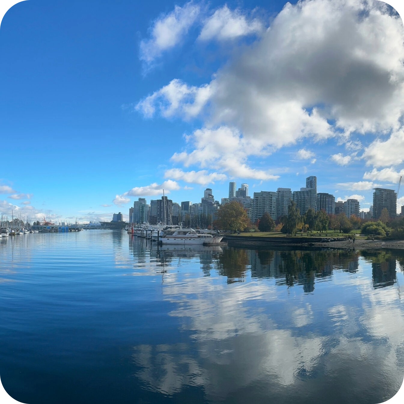
The Vancouver guide I
wish I had sooner
Vancouver, Canada
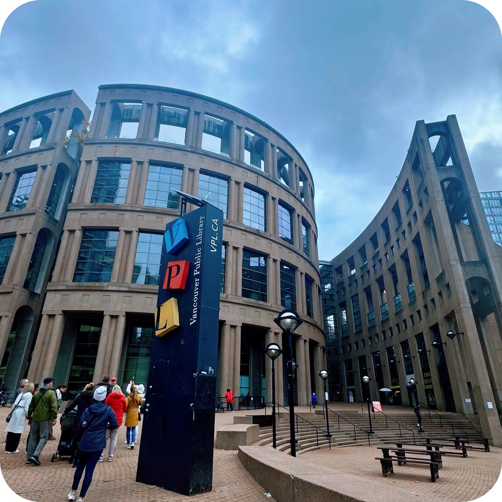
Stories that reveal Vancouver beyond the postcards
Vancouver Reading List
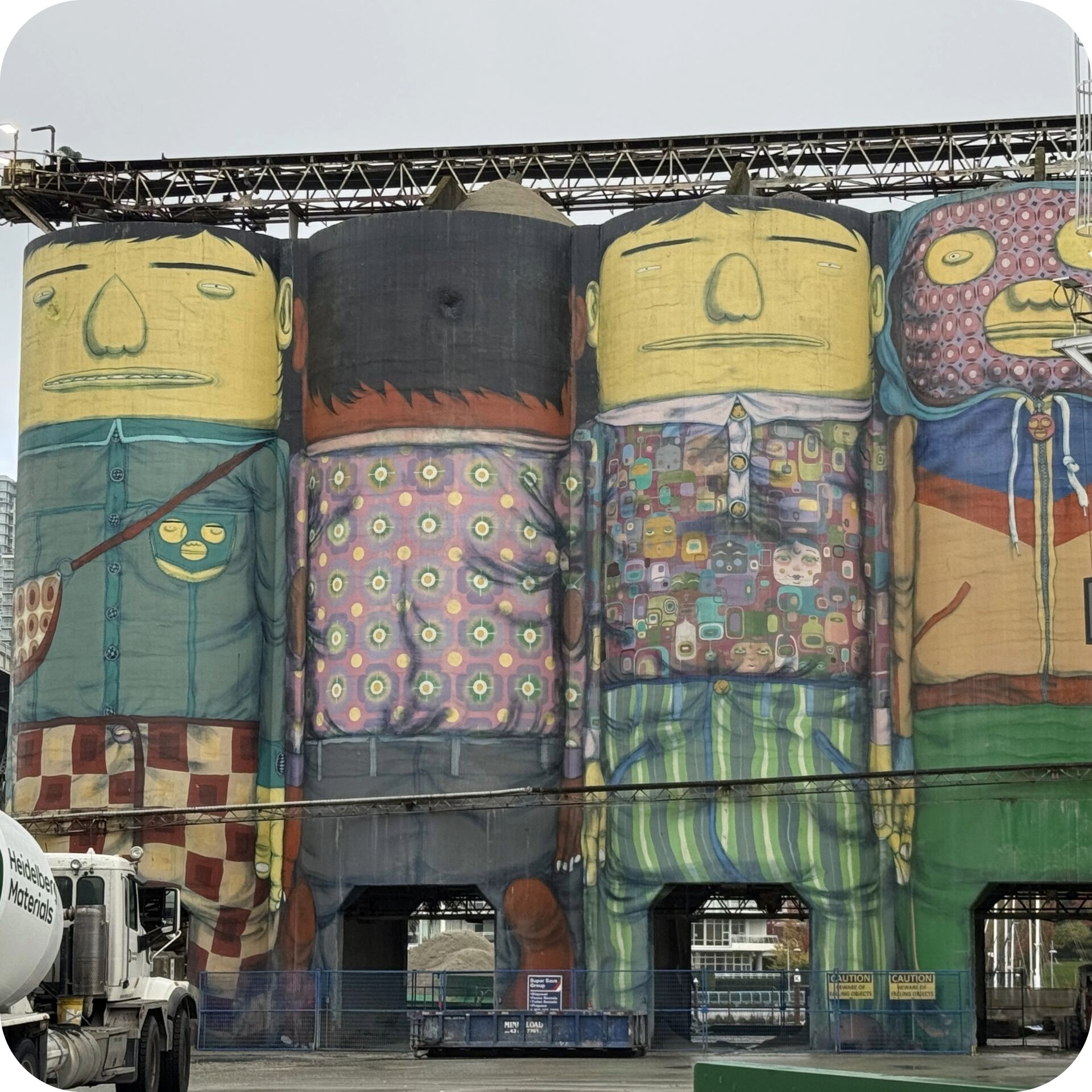
Vancouver’s most charming waterfront wander
Granville Island City Stroll
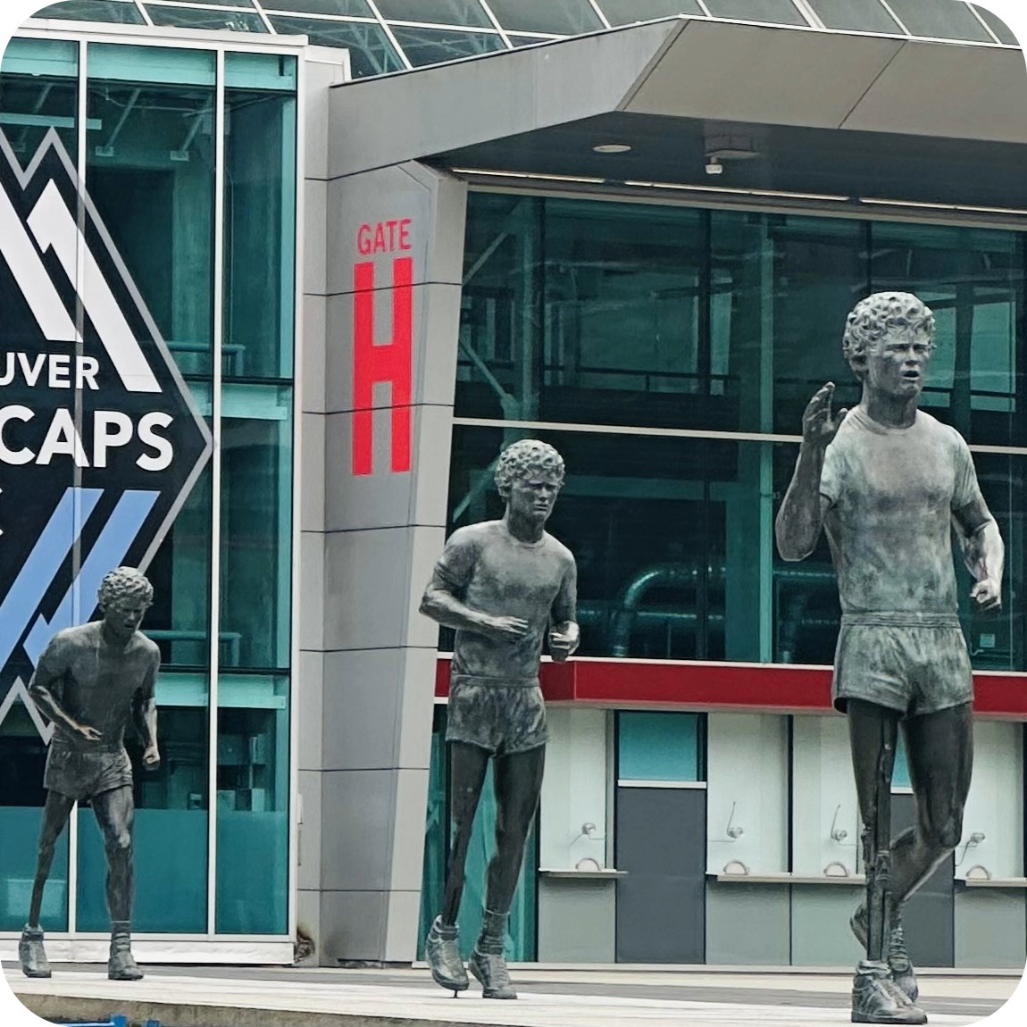
The free city walking tour worth planning your day around
Vancouver City Walking Tour
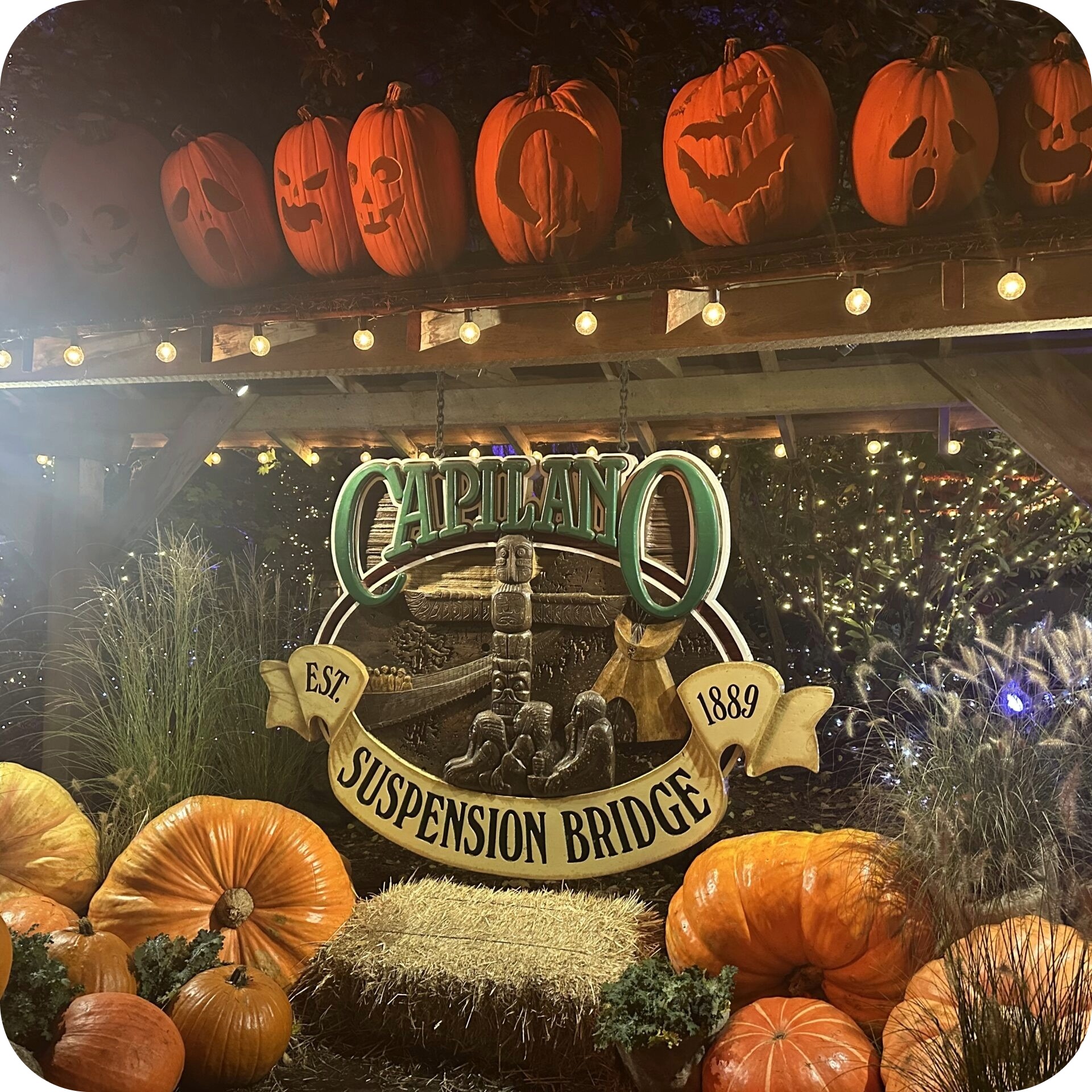
Vancouver’s most magical Halloween walk
Capilano Suspension Bridge Park: Canyon Fright Nights